Hierarchy
county
barony
civil parish
electoral division
townland
Hierarchy
county
barony
civil parish
electoral division
Explanatory note
- Gaeilge
the level ground of the standing stones
Tugtar Na Tiompáin ar shraith ghallán i ngort anseo. Féach Béaloideas Iml. V, Uimh. I (1935), 83; féach leis Fardal Seandálaíochta Cho. Phort Láirge uimh. 281 - English
the level ground of the standing stones
Na Tiompáin — a row of standing stones in a field here. See Béaloideas Iml. V, Uimh. I (1935), 83; see also Archaeological Inventory Co. Waterford No. 281
Centrepoint
Archival records
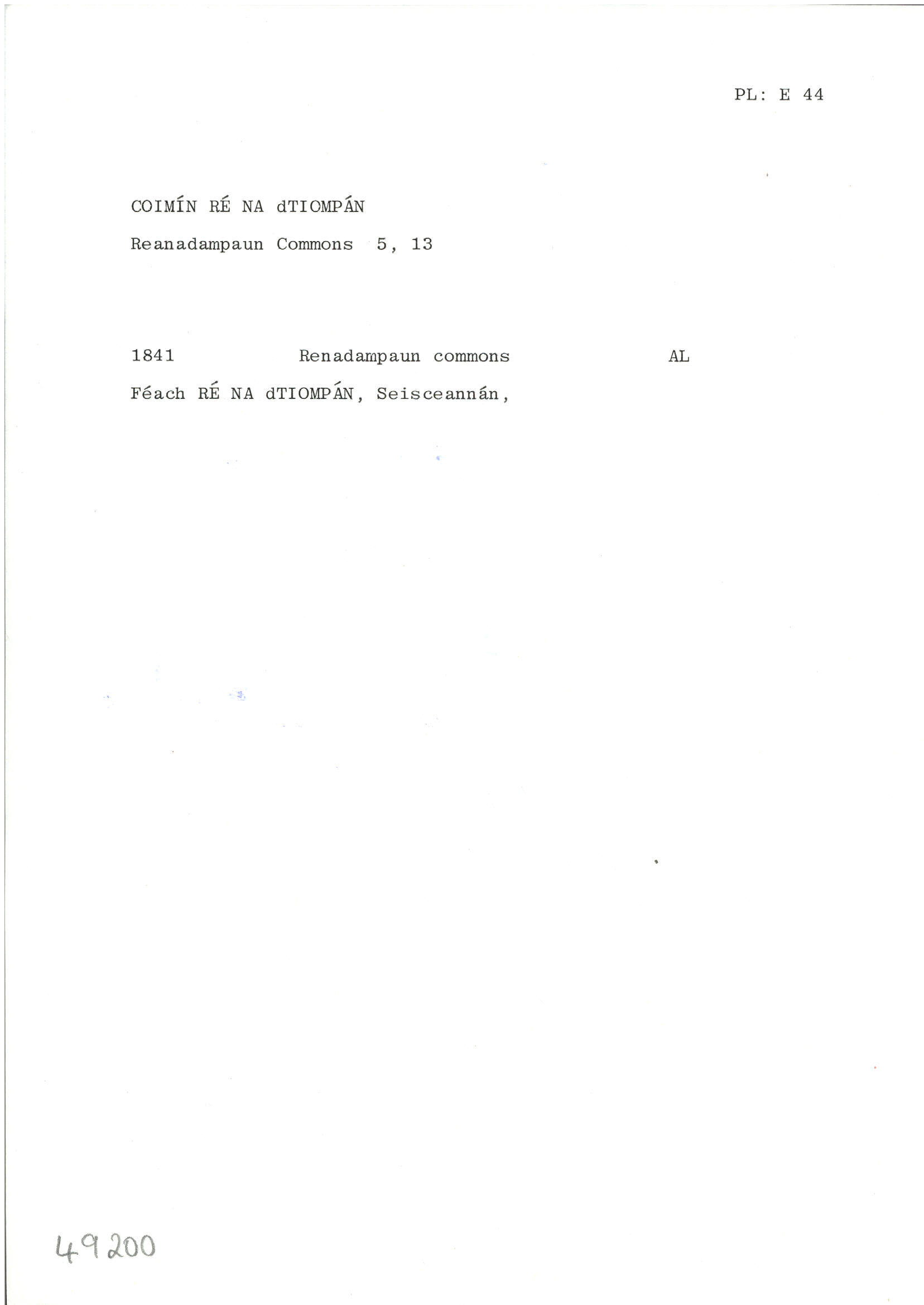
Please note: Some of the documentation from the archives of the Placenames Branch is available here. It indicates the range of research contributions undertaken by the Branch on this placename over the years. It may not constitute a complete record, and evidence may not be sequenced on the basis of validity. It is on this basis that this material is made available to the public.
Archival and research material provided on this site may be used, subject to acknowledgement. Issues regarding republication or other permissions or copyright should be addressed to logainm@dcu.ie.
Permanent link
https://www.logainm.ie/49200.aspxFurther information about this place
Open data
Application programming interface (API)
Linked Logainm
Formats: RDF | RDF N3 | RDF JSON | RDF XML