Hierarchy
county
barony
civil parish
townland
subunits
townland
Formaoil Uachtarach Thoir
genitive: Fhormaoil Uachtarach Thoir
non-validated name (What is this?)
(Irish)
Formoyle Oughteragh (East)
(English)
Centrepoint
52.853, -9.17469latitude, longitude
Irish Grid (with letter)
Computing...
Irish Grid (without letter)
Computing...
Irish Transverse Mercator (ITM)
Computing...
Archival records
Historical references
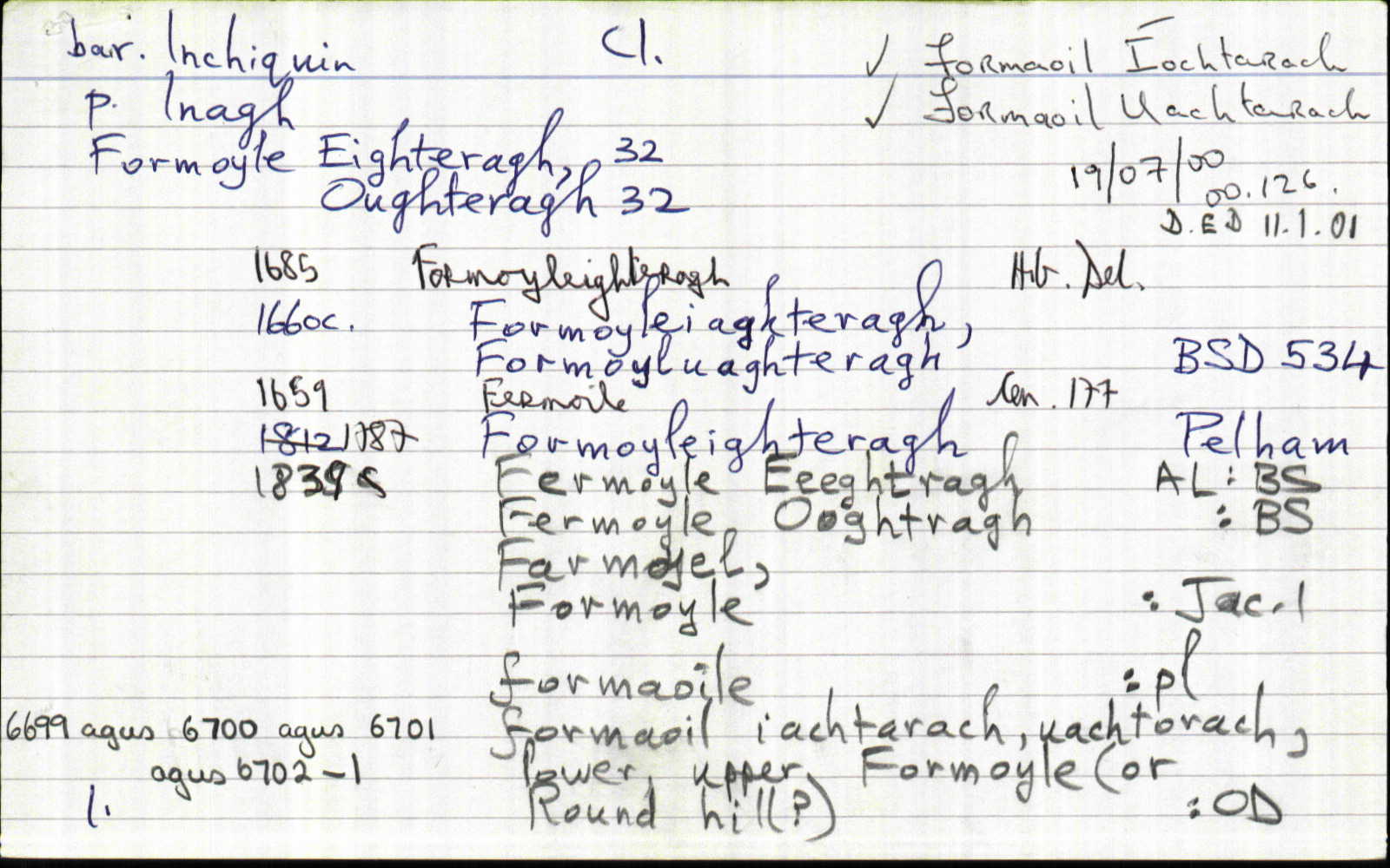
| 1660c |
Formoyluaghteragh
|
BSD (Cl) Leathanach: 534
|
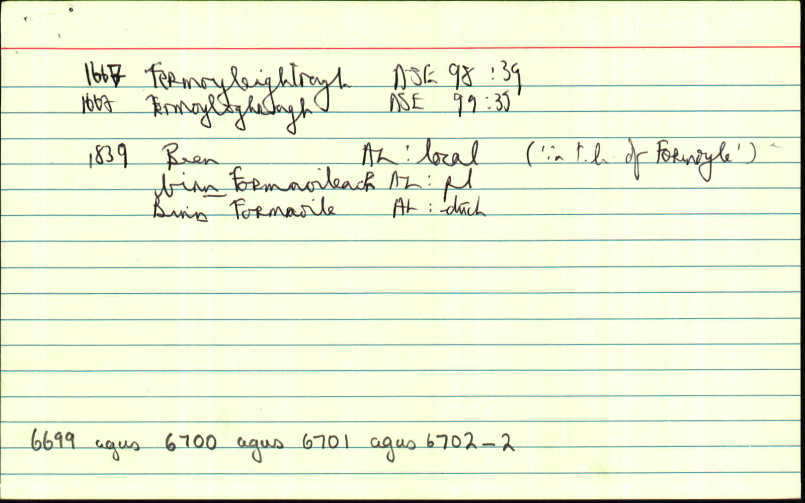
| 1666 |
Fermoyloghragh
|
ASE Leathanach: 99, 39
|
| 1839 |
Fermoyle Ooghtragh East
"See Mr O'Donovan's decision, next page 39" [pl, "page 39"=tagairt do "Formoyle Oughteragh West"];
|
BS:AL Leathanach: Cl029,38
|
| 1839 |
Fermoyleoughteragh
|
Crowe Map 1761:AL Leathanach: Cl029,38
|
| 1839 |
[Formoyle Oughteragh (East)]
"A large stream or river also runs along its E. and W. boundaries and a portion of flooded ground attached thereto...Subns. Feighnamunga...Cloonskinna...Lauragh" [Desc. Rem.];
|
Desc. Rem.:AL Leathanach: Cl029,38
|
Please note: Some of the documentation from the archives of the Placenames Branch is available here. It indicates the range of research contributions undertaken by the Branch on this placename over the years. It may not constitute a complete record, and evidence may not be sequenced on the basis of validity. It is on this basis that this material is made available to the public.
Archival and research material provided on this site may be used, subject to acknowledgement. Issues regarding republication or other permissions or copyright should be addressed to logainm@dcu.ie.
Permanent link
https://www.logainm.ie/6701.aspxFolklore
The National Folklore Collection (dúchas.ie) contains material related to this place:
Open data
Application programming interface (API)
Available under
Creative Commons Attribution 4.0 International (CC BY 4.0)
API key required to access data
Linked Logainm
Formats: RDF | RDF N3 | RDF JSON | RDF XML
Operated by Digital Repository of Ireland