Hierarchy
county
barony
municipal district
civil parish
electoral division
townland
townland
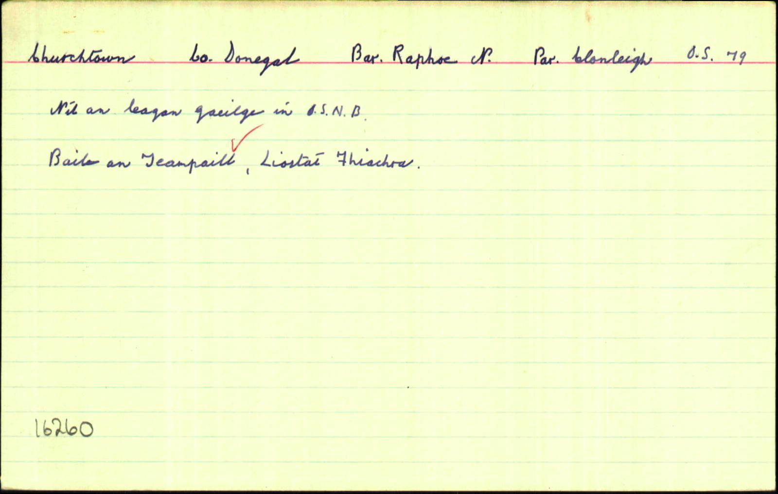
Churchtown
(English)
Hierarchy
county
barony
municipal district
civil parish
electoral division
Centrepoint
54.811, -7.52829latitude, longitude
Irish Grid (with letter)
Computing...
Irish Grid (without letter)
Computing...
Irish Transverse Mercator (ITM)
Computing...
Archival records
Historical references
| 1728 |
Termon or Erenagh Land of Tawcumrusk otherwise called Ballybogan als Taughnegomrick
the territory or precinct of land commonly called the Termon or Erenagh Land of Tawcumrusk otherwise called Ballybogan als Taughnegomrick containing twelve sessaghs of land
|
CGn. 60.121.40159 King to Ross
|
| 1759 |
Church Town
|
CGn. 196.485.130829: Stenson to Stewart
|
| 1805 |
Wm Caldwell of the Churchtown of Ballybogan
|
CGn. 580.88.391961: Trone to Caldwell
|
| 1820 |
Church Town Ballibogan
|
PR P (DG) PRONI MIC1P/185 Ballindrait Presbetarian
|
| 1835 |
Churchtown
|
Please note: Some of the documentation from the archives of the Placenames Branch is available here. It indicates the range of research contributions undertaken by the Branch on this placename over the years. It may not constitute a complete record, and evidence may not be sequenced on the basis of validity. It is on this basis that this material is made available to the public.
Archival and research material provided on this site may be used, subject to acknowledgement. Issues regarding republication or other permissions or copyright should be addressed to logainm@dcu.ie.