Hierarchy
county
barony
civil parish
townland
townland
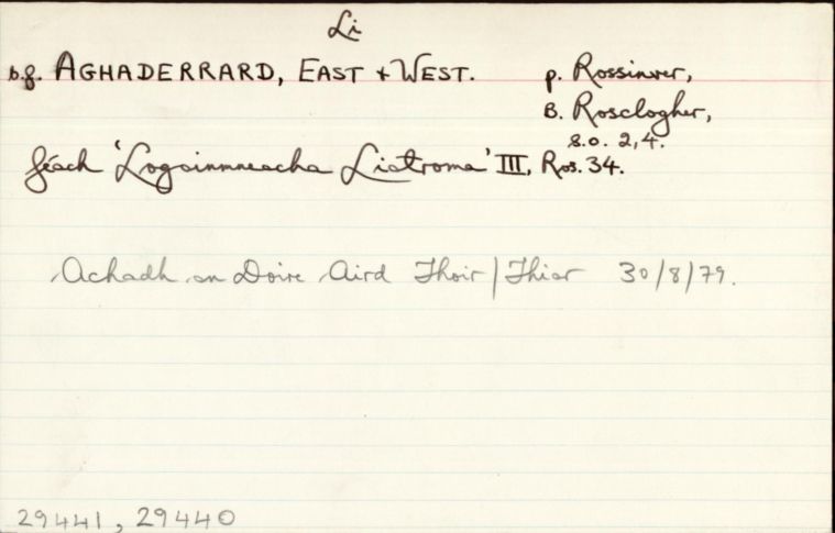
Achadh an Doire Aird Thiar
genitive: Achadh an Doire Aird Thiar
non-validated name (What is this?)
(Irish)
Aghaderrard West
(English)
Hierarchy
county
barony
civil parish
Centrepoint
54.4312, -8.23758latitude, longitude
Irish Grid (with letter)
Computing...
Irish Grid (without letter)
Computing...
Irish Transverse Mercator (ITM)
Computing...
Archival records
Historical references
| n/a |
"Pinkman: Achadh-a’-doire-áird = Field of the high oak wood. The Down Survey writes the name ‘Aghodereard.’ Aghaderrard townland lies on the south shore of Lough Melvin; opposite is Inishehir Island. "
|
|
|
"Arch. Inventory: Court tomb. ‘Druid’s Altar.’ On a low hillock (2) "
|
||
| 1659 |
Agroderaird
|
Cen. Leathanach: 568
|
| 1660c |
Aghandereard
|
BSD Leathanach: 38
|
| 1667 |
Aghaderrard alias Aghowdireard
|
ASE Leathanach: 142:11
|
| 1685 |
Aghodereard
|
|
| 1817 |
Aughadrard
|
|
| 1836 |
Aghadairard West
'the high oak ford west'
|
|
| 1836 |
Aughadarard West
|
|
| 1836 |
Aughaderard West
|
|
| 1836 |
Aughadrard
|
|
| 1836 |
Auhaderrard East
|
|
| 1836 |
Aghadairard West
"Written on plan."
|
Please note: Some of the documentation from the archives of the Placenames Branch is available here. It indicates the range of research contributions undertaken by the Branch on this placename over the years. It may not constitute a complete record, and evidence may not be sequenced on the basis of validity. It is on this basis that this material is made available to the public.
Archival and research material provided on this site may be used, subject to acknowledgement. Issues regarding republication or other permissions or copyright should be addressed to logainm@dcu.ie.