Hierarchy
county
barony
civil parish
townland
townland
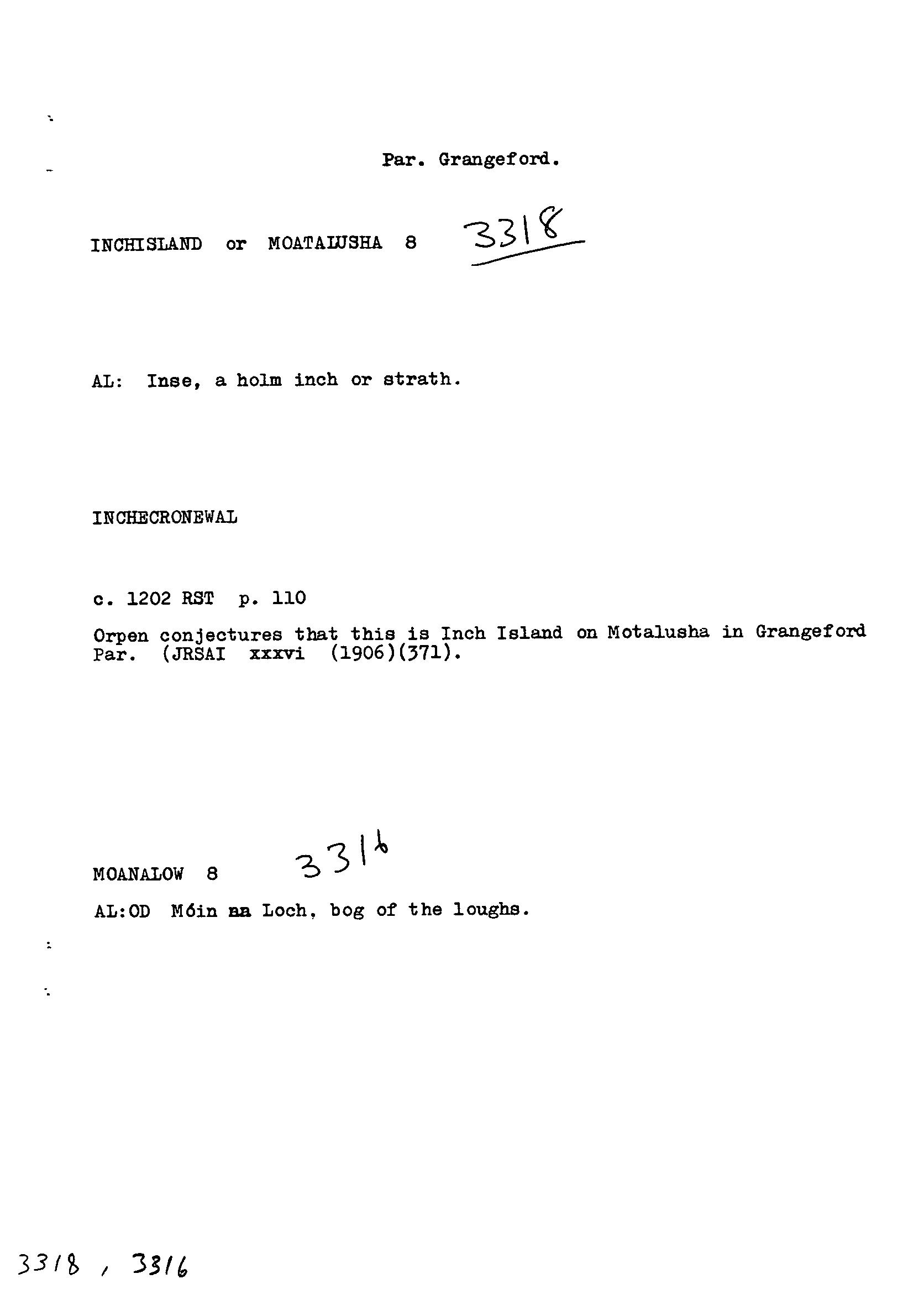
Inchisland or Moatalusha
(English)
Hierarchy
county
barony
civil parish
Centrepoint
52.7988, -6.80116latitude, longitude
Irish Grid (with letter)
Computing...
Irish Grid (without letter)
Computing...
Irish Transverse Mercator (ITM)
Computing...
Archival records
Historical references
| 1199 |
Hinchecrunewal
|
Reg. St. Thos. Leathanach: 368
|
| 1200c |
Inchecronewal
|
Reg. St. Thos. Leathanach: 111
|
| 1200c |
Inchcronewal
|
Reg. St. Thos. Leathanach: 110
|
| 1202c |
Inchecronwal
|
Reg. St. Thos. Leathanach: 110
|
| 1744 |
lands of Grangeforth called the Island
|
CGn. Leathanach: 125.259.84966
|
| 1799 |
island commonly called Moat Elisha being part of the lands of Grangeford
|
CGn. Leathanach: 521.221.341920
|
| 1839 |
Inchisland or Moatalusha
|
BS:AL Leathanach: Ce 26, 13
|
| 1839 |
Moat-a-Lusha or Inch Island, Moat a Leesha (alias spelling)
|
Curry, Maj.:AL Leathanach: Ce 26, 13
|
| 1839 |
Inchisland or Motaleiche
|
Kinsella, Rev. M., P.P.:AL Leathanach: Ce 26, 13
|
| 1839 |
Inse, a holm inch or strath
|
OD:AL Leathanach: Ce 26, 13
|
| 1839 |
Móta Eilíse, 'Eliza's moat'
|
OD:AL Leathanach: Ce 26, 13
|
| 1996 |
motəˈliːs′ə
|
|
| 1996 |
məlˈiːs′ə
|
|
| 1996 |
moˈliːsə
|
Please note: Some of the documentation from the archives of the Placenames Branch is available here. It indicates the range of research contributions undertaken by the Branch on this placename over the years. It may not constitute a complete record, and evidence may not be sequenced on the basis of validity. It is on this basis that this material is made available to the public.
Archival and research material provided on this site may be used, subject to acknowledgement. Issues regarding republication or other permissions or copyright should be addressed to logainm@dcu.ie.