Hierarchy
county
barony
civil parish
townland
townland
Julianstown West
(English)
Hierarchy
county
barony
civil parish
Centrepoint
53.6762, -6.28272latitude, longitude
Irish Grid (with letter)
Computing...
Irish Grid (without letter)
Computing...
Irish Transverse Mercator (ITM)
Computing...
Archival records
Historical references
| 1628 |
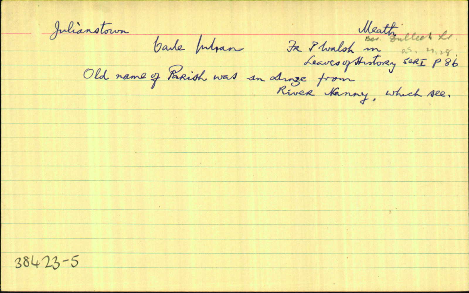
Julianstown
Gerrot nup Vicecom’ Moore de Drogheda
|
Inq. Lag. 40 CI
|
| 1654 |
Julianstowne
The Lord Netervill of Balligart Irish papist. Julianstowne one plowland. Acres 350. Bounded one the east with the lands of Ninch on the South with the Nanny River one the west with the lands of Smithstowne and on the North with the lands of Ballimad. Tow ffarme houses & some Cabbines.
|
CS V 5
|
| 1660c |
Julianstowne
|
|
| 1685c |
Iullianstown
|
|
| 1812 |
Julianstown
|
|
| 1836 |
Julianston
|
Inq. H VIII (Brodigan):AL Leathanach: Mí20,30
|
| 1836 |
Julianstown Part
|
GJRates (Old Docket): AL Leathanach: Mí20,30
|
| 1836 |
Julianstown West
|
BS:AL Leathanach: Mí20,30
|
| 1836 |
Julianstown
|
CM:AL Leathanach: Mí20,30
|
| 1836 |
Julianstown Part
|
HCSV:AL Leathanach: Mí20,30
|
Please note: Some of the documentation from the archives of the Placenames Branch is available here. It indicates the range of research contributions undertaken by the Branch on this placename over the years. It may not constitute a complete record, and evidence may not be sequenced on the basis of validity. It is on this basis that this material is made available to the public.
Archival and research material provided on this site may be used, subject to acknowledgement. Issues regarding republication or other permissions or copyright should be addressed to logainm@dcu.ie.