

Hierarchy
county
barony
civil parish
townland
townland
Daw
(English)
Hierarchy
county
barony
civil parish
Centrepoint
53.6126, -6.33411latitude, longitude
Irish Grid (with letter)
Computing...
Irish Grid (without letter)
Computing...
Irish Transverse Mercator (ITM)
Computing...
Archival records
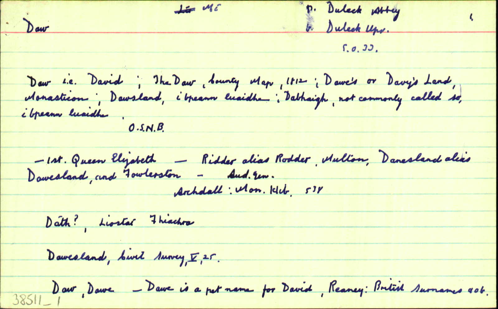
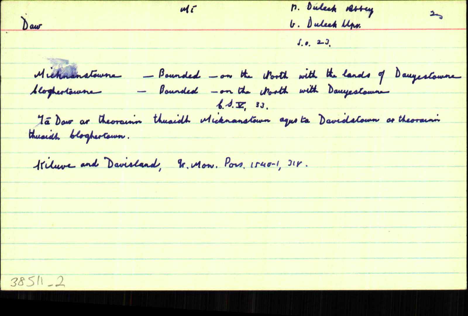
Historical references
| 1558-9 |
Duvesland als. Dawesland
Henry Draycott
|
|
| 1559 |
Dawersland
(Henry Draycott)
|
|
| 1640 |
Dowe's land
Joh' Draycott Mil' ... monaster' de Colpe ... Mornanton al' Marynertowne ... great Bewbecke & little Bewbecke ... Grange al' rough Grange & Corballyes ... Calliaghtowne & Ridder, & Deadmansditch pcell' de Ridder ... Miltowne, Dowe's land & Fowlerstowne ... Logher, Killnew & Ballymaghabber ... Scaternagh ... Davistowne, Macestowne & Hoggestowne ... Balgeith ... Joh' Draycott
|
|
| 1654 |
Dawesland
Kilnew - Bounded on the east with the lands of Grenanstown on the west & the lands of ffowlerstowne and on the South wth Dawesland
|
CS V 25
|
| 1812 |
The Daw
|
|
| 1836 |
Daw
|
BS:AL Leathanach: Mí029,49
|
| 1836 |
The Daw
|
CM:AL Leathanach: Mí029,49
|
| 1836 |
Daw, i.e. David
|
OD:AL Leathanach: Mí029,49
|
| 1836 |
Dawsland
|
pl:AL Leathanach: Mí029,49
|
| 1836 |
Dawe's or Davy's land
|
Archdall:AL Leathanach: Mí029,49
|
| 1836 |
Dabhaidh, not commonly called so
|
pl:AL Leathanach: Mí029,49
|
| 1836 |
Daw
|
OD:AL Leathanach: Mí029,49
|
Please note: Some of the documentation from the archives of the Placenames Branch is available here. It indicates the range of research contributions undertaken by the Branch on this placename over the years. It may not constitute a complete record, and evidence may not be sequenced on the basis of validity. It is on this basis that this material is made available to the public.
Archival and research material provided on this site may be used, subject to acknowledgement. Issues regarding republication or other permissions or copyright should be addressed to logainm@dcu.ie.