Hierarchy
county
barony
civil parish
subunits
Explanatory note
- Gaeilge
the cup-shaped rock-hole; the well
Ar na bríonna éagsúla atá le ballán tá 'cloch a bhfuil poll nádúrtha inti (ar cruth cupa nó babhla)', agus as sin, 'tobar'. Faightear na balláin seo taobh le toibreacha beannaithe (cf. Fardal Seandálaíochta na Gaillimhe I, lgh. 90, 116), ach ar uairibh is cuid den tobar féin iad: féach Ballán Mhaolodhair, bf Cill Mhuirbhigh, agus Ballán an Cheathrair Álainn, bf Eochaill (par. Árainn), ar toibreacha iad; cf. leis Tobar an Bhalláin (‘it consists of a natural oval basin', Fardal Seandálaíochta lch. 118), bf An Cheathrú Rua Theas. Tá tobar ar theorainn thoir an bhaile fearainn idir chamáin anseo darb ainm 'St. Patrick's Well': cf. 'Ballayn Padryg' (tagairt don áit seo in Pontificia Hibernica, bl. 1223). Féach leis, 'b[allán] Barruinde, name of a spring', tagairt do Betha Colaim Chille in A Dictionary of the Irish Language, www.dil.ie, s.v. ballán.
Féach an nóta faoi bf An Ballán, par. Cill Mhaoláin. - English
the cup-shaped rock-hole; the well
Amongst the several meanings of ballán are 'stone with a (cup-shaped) hole', and by extension, 'well'. These 'bullaun' stones can be found alongside holy wells (cf. Archaeological Inventory of County Galway I, pp. 90, 116), but they sometimes form part of the well itself: see the wells Ballán Mhaolodhair, townland Cill Mhuirbhigh, and Ballán an Cheathrair Álainn, townland Eochaill (par. Árainn); cf. Tobar an Bhalláin (‘it consists of a natural oval basin', Archaeological Inventory p. 118), townland An Cheathrú Rua Theas. There is a well on the E boundary of the present townland called 'St. Patrick's Well': cf. 'Ballayn Padryg' (a reference to this place in Pontificia Hibernica, anno 1223). See also 'b[allán] Barruinde, name of a spring', a reference to Betha Colaim Chille in A Dictionary of the Irish Language, www.dil.ie, s.v. ballán.
See also the note on An Ballán, par. Cill Mhaoláin.
Centrepoint
Archival records
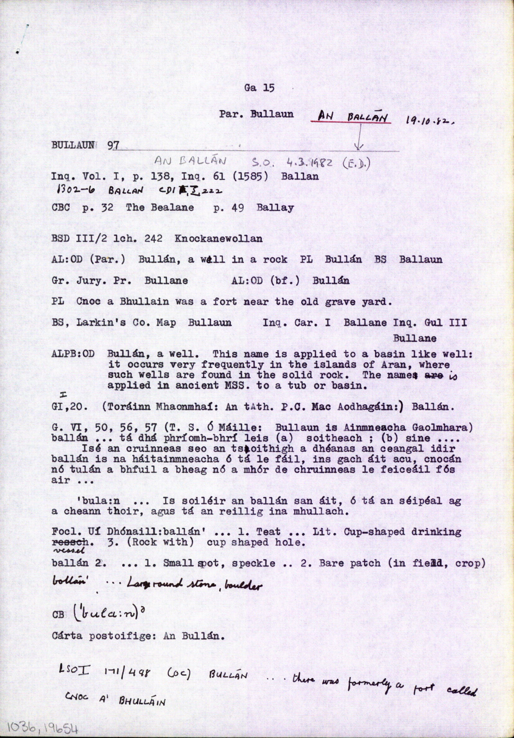
Please note: Some of the documentation from the archives of the Placenames Branch is available here. It indicates the range of research contributions undertaken by the Branch on this placename over the years. It may not constitute a complete record, and evidence may not be sequenced on the basis of validity. It is on this basis that this material is made available to the public.
Archival and research material provided on this site may be used, subject to acknowledgement. Issues regarding republication or other permissions or copyright should be addressed to logainm@dcu.ie.
Permanent link
https://www.logainm.ie/1036.aspxFolklore
The National Folklore Collection (dúchas.ie) contains material related to this place: