Hierarchy
county
barony
civil parish
townland
townland
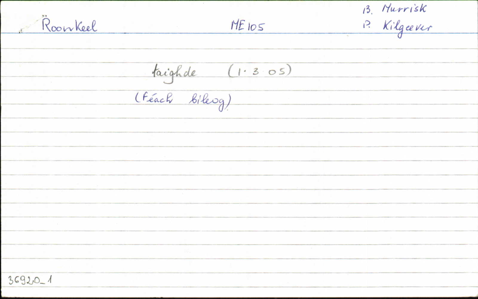
Roonkeel
(English)
Centrepoint
53.6877, -9.90358latitude, longitude
Irish Grid (with letter)
Computing...
Irish Grid (without letter)
Computing...
Irish Transverse Mercator (ITM)
Computing...
Archival records
Historical references
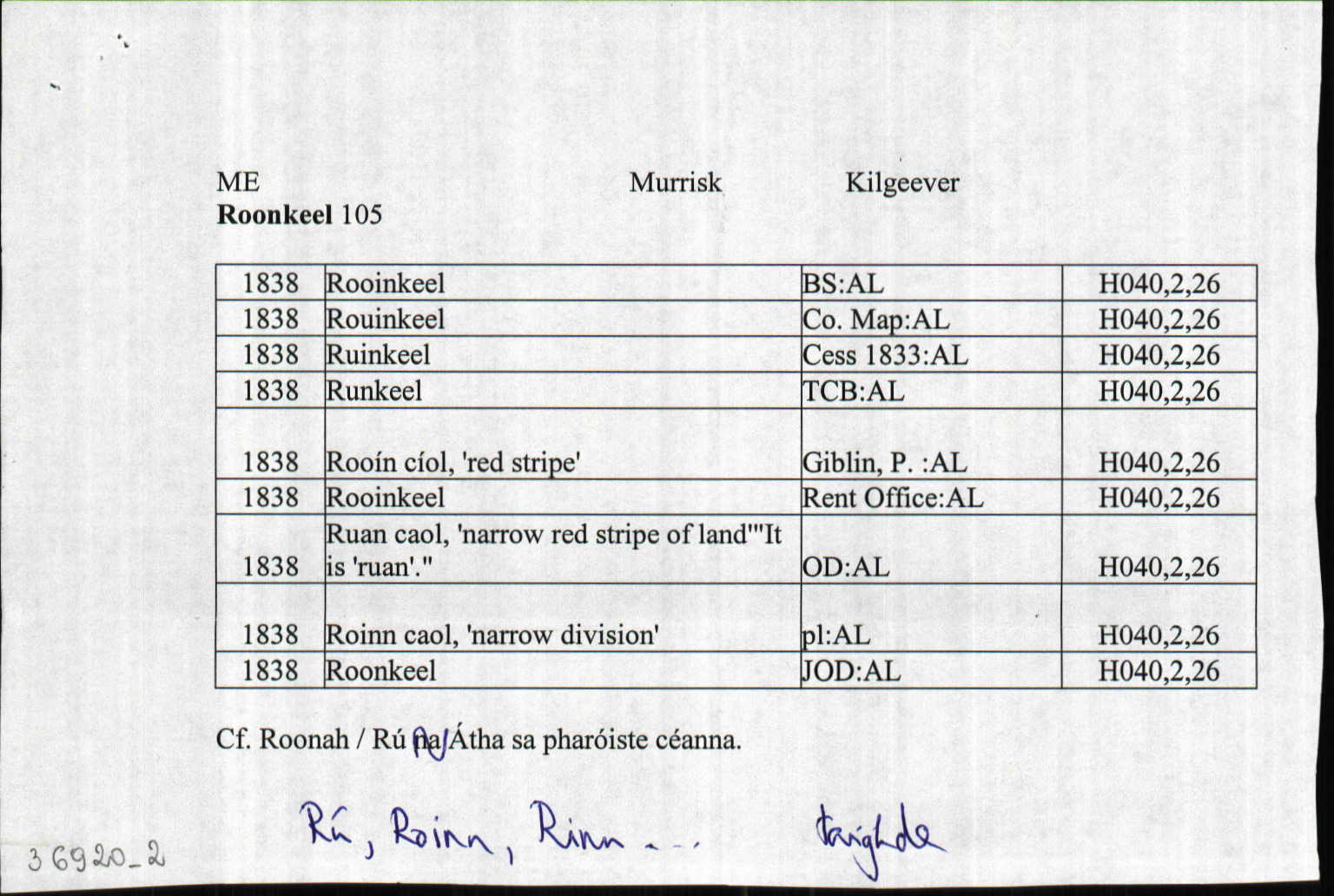
| 1802 |
Runkeel
|
Browne's RR Leathanach: 1802
|
| 1812 |
Rouinkeel
|
|
| 1818 |
Runkeel
|
Sligo RR Leathanach: 1818
|
| 1830 |
Rouinkeel
|
Bald Uimhir: 17
|
| 1833 |
Runkeel
|
Browne's RR Leathanach: 1833
|
| 1838 |
Rooín cíol, 'red stripe'
|
Giblin, P.:AL Leathanach: ME089,26
|
| 1838 |
Rooinkeel
|
Rent Office:AL (ME) Leathanach: ME089,26
|
| 1838 |
Ruan caol, 'narrow red stripe of land'
"It is 'ruan'."
|
OD:AL Leathanach: ME089,26
|
| 1838 |
Roinn caol, 'narrow division'
|
pl:AL Leathanach: ME089,26
|
| 1838 |
Rooinkeel
|
BS:AL Leathanach: ME089,26
|
| 1838 |
Rouinkeel
|
CM:AL Leathanach: ME089,26
|
| 1838 |
Ruinkeel
|
Cess 1833:AL Leathanach: ME089,26
|
| 1838 |
Roonkeel
|
OD:AL Leathanach: ME089,26
|
| 1838 |
Runkeel
|
TAB Leathanach: ME089,26
|
Please note: Some of the documentation from the archives of the Placenames Branch is available here. It indicates the range of research contributions undertaken by the Branch on this placename over the years. It may not constitute a complete record, and evidence may not be sequenced on the basis of validity. It is on this basis that this material is made available to the public.
Archival and research material provided on this site may be used, subject to acknowledgement. Issues regarding republication or other permissions or copyright should be addressed to logainm@dcu.ie.